 GIS and Media fusion
"The explosive growth of the GeoWeb and geographic information has made GIS powerful media for the general public to communicate, but perhaps more importantly, GIS have also become media for constructive dialogs and interactions about social issues." - Sui & Goodchild
User Tools
sandbox
This is an old revision of the document!
Table of Contents
SANDBOX
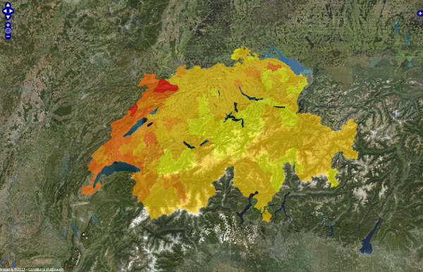
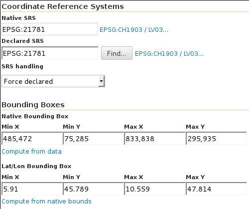
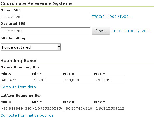
GeoServer with swiss projection pb
- What I get with GeoServer 2.1.2 :
- What I get with GeoServer 2.3.0 :
- from the discussion http://comments.gmane.org/gmane.comp.gis.geoserver.user/4335 : 3 different WKT strings !
OrbisGIS >SE
Fix se:Recode used with ExternalGraphic : https://github.com/irstv/orbisgis/issues/425FIXED (see testcase)
<se:Style>
    <se:Rule>
        <se:PointSymbolizer>
            <se:ExternalGraphic>
                <se:OnlineResource>
                    <se:Href>
                        <se:Recode fallbackValue="http://url/to/errorsymbol.gif">
                            <se:LookupValue>
                                <ValueReference xmlns="http://www.opengis.net/fes/2.1">meteo_am</ValueReference>
                            </se:LookupValue>
                            <se:MapItem>
                                <se:Key>20</se:Key>
                                <se:Value>http://www.meteosuisse.admin.ch/images/weathersymbols/20.gif</se:Value>
                            </se:MapItem>
                            <se:MapItem>
                                <se:Key>3</se:Key>
                                <se:Value>http://www.meteosuisse.admin.ch/images/weathersymbols/3.gif</se:Value>
                            </se:MapItem>
                        </se:Recode>
                    </se:Href>
                </se:OnlineResource>
                <se:Format>image/gif</se:Format>
            </se:ExternalGraphic>
        </se:PointSymbolizer>
    </se:Rule>
</se:Style>
sandbox.1372840272.txt.gz · Last modified: 2018/05/16 10:05 (external edit)


