Table of Contents
SANDBOX
GeoServer with swiss projection pb
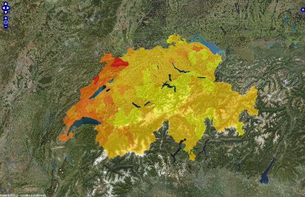
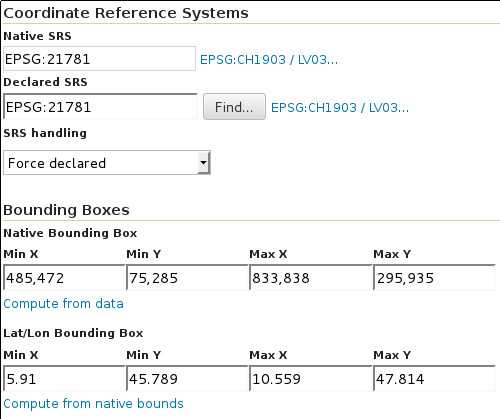
- What I get with GeoServer 2.1.2 :
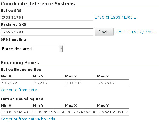
- What I get with GeoServer 2.3.0 :
- from the discussion http://comments.gmane.org/gmane.comp.gis.geoserver.user/4335 : 3 different WKT strings !
OrbisGIS >SE
Fix se:Recode used with ExternalGraphic : https://github.com/irstv/orbisgis/issues/425FIXED (see meteo testcase)
<se:Style>
    <se:Rule>
        <se:PointSymbolizer>
            <se:ExternalGraphic>
                <se:OnlineResource>
                    <se:Href>
                        <se:Recode fallbackValue="http://url/to/errorsymbol.gif">
                            <se:LookupValue>
                                <ValueReference xmlns="http://www.opengis.net/fes/2.1">meteo_am</ValueReference>
                            </se:LookupValue>
                            <se:MapItem>
                                <se:Key>20</se:Key>
                                <se:Value>http://www.meteosuisse.admin.ch/images/weathersymbols/20.gif</se:Value>
                            </se:MapItem>
                            <se:MapItem>
                                <se:Key>3</se:Key>
                                <se:Value>http://www.meteosuisse.admin.ch/images/weathersymbols/3.gif</se:Value>
                            </se:MapItem>
                        </se:Recode>
                    </se:Href>
                </se:OnlineResource>
                <se:Format>image/gif</se:Format>
            </se:ExternalGraphic>
        </se:PointSymbolizer>
    </se:Rule>
</se:Style>


